


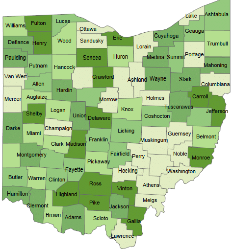
One of the strong features of Tableau is to create interactive Maps. Tableau automatically creates maps for the fields with geographical roles such as Country, City, Zipcodes etc. Tableau automatically generates Longitudes and latitudes for such fields. In this blog, i will create a Map using OHIO counties and Zipcodes. I have created a sample data set using […]


 : http://techkoncepts.com/